 ARKTOS
Current Status
Where is the vessel?
ARKTOS is currently in Open sea (no nearby ports in database), based on AIS data received about 14h ago.
Latest AIS update:
Current position: 33.20835° S, 2.38947° E (Open sea (no nearby ports in database))
Average speed (last 7 days): Loading…
Average speed (last 30 days): Loading…
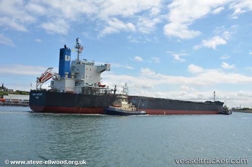
Vessel profile: ARKTOS is a Bulk Carrier with dimensions m x m.
This page combines live AIS, route history, probable destination signals, nearby traffic, and port activity for practical vessel monitoring.
The current position of vessel ARKTOS is -33.20835 lat / 2.38947 lng. Updated: 2026-05-20 09:31:32 UTCNearest reference points:
- Open sea (no nearby ports in database)
Currently sailing under the flag of Marshall Islands ![]()
Details:
Live Vessel ARKTOS Analytics (details, animations, etc.)
Recent AIS points (UTC):
2026-05-20 06:02:43 UTC · -33.11945, 1.67654 · SOG 10.5 kn · COG 95°2026-05-20 07:38:44 UTC · -33.17032, 2.00186 · SOG 9.9 kn · COG 94°
2026-05-20 08:07:04 UTC · -33.18241, 2.09680 · SOG 10.3 kn · COG 93°
2026-05-20 09:31:32 UTC · -33.20835, 2.38947 · SOG 10.5 kn · COG 93°