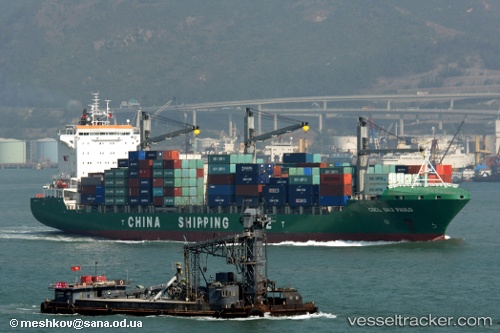
 MAERSK NANSHA
Current Status
Where is the vessel?
MAERSK NANSHA is currently in 123 nm NW of Swan Island, based on AIS data received about 15h ago.
Latest AIS update:
Current position: 19.02789° N, 85.25691° W (123 nm NW of Swan Island)
Average speed (last 7 days): Loading…
Average speed (last 30 days): Loading…
Vessel profile: MAERSK NANSHA is a Container Ship with dimensions m x m.
This page combines live AIS, route history, probable destination signals, nearby traffic, and port activity for practical vessel monitoring.
The current position of vessel MAERSK NANSHA is 19.02789 lat / -85.25691 lng. Updated: 2026-05-19 06:00:30 UTCNearest reference points:
- 58 nm S of San Julian
- Near Puerto Juárez
Currently sailing under the flag of Marshall Islands ![]()
Details:
Live Vessel MAERSK NANSHA Analytics (details, animations, etc.)
Recent AIS points (UTC):
2026-05-19 03:08:40 UTC · 19.02773, -85.25691 · SOG 13.4 kn · COG 177°2026-05-19 06:00:30 UTC · 19.02789, -85.25691 · SOG 13.4 kn · COG 177°
2026-05-19 06:00:30 UTC · 19.02789, -85.25691 · SOG 13.4 kn · COG 177°
2026-05-19 06:00:30 UTC · 19.02789, -85.25691 · SOG 13.4 kn · COG 177°