 KLARA
KLARA
Current Status
Where is the vessel?
KLARA is currently in 18 nm SW of Seaford, based on AIS data received about 15h ago.
Latest AIS update:
Current position: 50.50075° N, 0.13332° W (18 nm SW of Seaford)
Average speed (last 7 days): Loading…
Average speed (last 30 days): Loading…
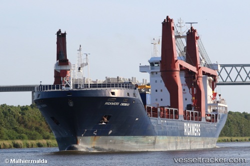
Vessel profile: KLARA is a General Cargo with dimensions m x m.
This page combines live AIS, route history, probable destination signals, nearby traffic, and port activity for practical vessel monitoring.
The current position of vessel KLARA is 50.50075 lat / -0.13332 lng. Updated: 2026-05-21 17:52:53 UTCNearest reference points:
- 27 nm S of Seaford
- 23 nm S of Ferring
- 15 nm S of Selsey
Currently sailing under the flag of Marshall Islands ![]()
Details:
Live Vessel KLARA Analytics (details, animations, etc.)
Recent AIS points (UTC):
2026-05-21 13:39:24 UTC · 50.77515, 0.98926 · SOG 9.7 kn · COG 233°2026-05-21 14:05:54 UTC · 50.73512, 0.89660 · SOG 9.6 kn · COG 233°
2026-05-21 15:54:00 UTC · 50.59868, 0.46521 · SOG 11 kn · COG 258°
2026-05-21 17:52:53 UTC · 50.50075, -0.13332 · SOG 11 kn · COG 252°