 vesseltracker.com
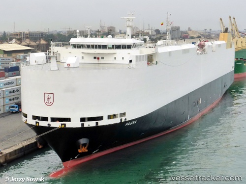
 PAGNA
PAGNA
Current Status
Where is the vessel?
PAGNA is currently in 13 nm E of Song Doc, based on AIS data received about 14h ago.
Latest AIS update:
Current position: 7.15500° N, 104.29333° E (13 nm E of Song Doc)
Average speed (last 7 days): Loading…
Average speed (last 30 days): Loading…
Vessel profile: PAGNA is a Vehicles Carrier with dimensions m x m.
This page combines live AIS, route history, probable destination signals, nearby traffic, and port activity for practical vessel monitoring.
The current position of vessel PAGNA is 7.15500 lat / 104.29333 lng. Updated: 2026-05-18 09:13:53 UTCNearest reference points:
- 46 nm N of Penara Marine Terminal
- 68 nm S of Nam Can Port
- 23 nm E of Muda Marine Terminal
Currently sailing under the flag of Marshall Islands ![]()
Details:
Live Vessel PAGNA Analytics (details, animations, etc.)
Recent AIS points (UTC):
2026-05-18 06:19:18 UTC · 6.61667, 104.13667 · SOG 12 kn · COG -1°2026-05-18 06:49:24 UTC · 6.70167, 104.19333 · SOG 12 kn · COG -1°
2026-05-18 07:49:35 UTC · 6.87333, 104.30333 · SOG 12 kn · COG -1°
2026-05-18 09:13:53 UTC · 7.15500, 104.29333 · SOG 12 kn · COG -1°