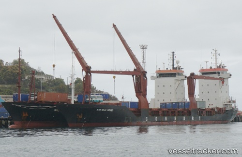
Ocean Freedom
Current StatusWhere is the vessel?
Ocean Freedom is currently in Near DUMAGUETE, based on AIS data received about 14h ago.
Latest AIS update:
Current position: 9.31480° N, 123.31254° E (Near DUMAGUETE)
Average speed (last 7 days): Loading…
Average speed (last 30 days): Loading…
Vessel profile: Ocean Freedom is a Multi Purpose Carrier with dimensions 16m x 105m.
This page combines live AIS, route history, probable destination signals, nearby traffic, and port activity for practical vessel monitoring.
The current position of vessel Ocean Freedom is 9.31480 lat / 123.31254 lng. Updated: 2026-05-25 22:09:01 UTCNearest reference points:
- 17 nm SW of Bacong
- Near TOLEDO
- Near Mandaue City
Details:
Live Vessel Ocean Freedom Analytics (details, animations, etc.)
Recent AIS points (UTC):
2026-05-25 19:29:59 UTC · 9.31479, 123.31257 · SOG 0 kn · COG -1°2026-05-25 19:41:59 UTC · 9.31478, 123.31257 · SOG 0 kn · COG -1°
2026-05-25 22:00:01 UTC · 9.31479, 123.31256 · SOG 0 kn · COG -1°
2026-05-25 22:09:01 UTC · 9.31480, 123.31254 · SOG 0 kn · COG -1°