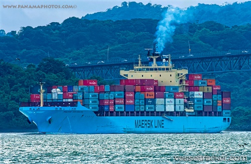
Maersk Innoshima
Current StatusWhere is the vessel?
Maersk Innoshima is currently in 340 nm SW of Népoui, based on AIS data received about 14h ago.
Latest AIS update:
Current position: 26.16333° S, 161.80833° E (340 nm SW of Népoui)
Average speed (last 7 days): Loading…
Average speed (last 30 days): Loading…
Vessel profile: Maersk Innoshima is a Container Ship with dimensions 32m x 233m.
This page combines live AIS, route history, probable destination signals, nearby traffic, and port activity for practical vessel monitoring.
The current position of vessel Maersk Innoshima is -26.16333 lat / 161.80833 lng. Updated: 2026-05-21 21:29:14 UTCNearest reference points:
- Open sea, approx. 407 nm off the nearest listed port
- Open sea, approx. 415 nm off the nearest listed port
- Open sea, approx. 422 nm off the nearest listed port
Details:
Live Vessel Maersk Innoshima Analytics (details, animations, etc.)
Recent AIS points (UTC):
2026-05-21 18:14:04 UTC · -26.14088, 160.85922 · SOG 15.5 kn · COG 94°2026-05-21 19:35:59 UTC · -26.14759, 161.24823 · SOG 15.5 kn · COG 92°
2026-05-21 19:44:50 UTC · -26.14801, 161.29642 · SOG 17.9 kn · COG 94°
2026-05-21 21:29:14 UTC · -26.16333, 161.80833 · SOG 15 kn · COG -1°