 vesseltracker.com
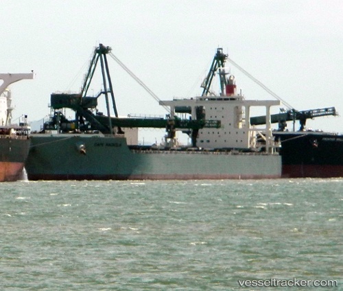
 CAPE MAGNOLIA
Current Status
Where is the vessel?
CAPE MAGNOLIA is currently in 62 nm SW of Bayovar, based on AIS data received about 14h ago.
Latest AIS update:
Current position: 6.52580° S, 81.85918° W (62 nm SW of Bayovar)
Average speed (last 7 days): Loading…
Average speed (last 30 days): Loading…
Vessel profile: CAPE MAGNOLIA is a Bulk Carrier with dimensions m x m.
This page combines live AIS, route history, probable destination signals, nearby traffic, and port activity for practical vessel monitoring.
The current position of vessel CAPE MAGNOLIA is -6.52580 lat / -81.85918 lng. Updated: 2026-05-18 04:38:13 UTCNearest reference points:
- 75 nm SW of Talara
- Near PAITA
Currently sailing under the flag of South Africa ![]()
Details:
Live Vessel CAPE MAGNOLIA Analytics (details, animations, etc.)
Recent AIS points (UTC):
2026-05-17 23:31:53 UTC · -5.75106, -82.50187 · SOG 11.4 kn · COG 139°2026-05-18 01:20:53 UTC · -6.01708, -82.27699 · SOG 11.5 kn · COG 138°
2026-05-18 04:19:52 UTC · -6.47709, -81.89943 · SOG 12.4 kn · COG 144°
2026-05-18 04:38:13 UTC · -6.52580, -81.85918 · SOG 12.4 kn · COG 142°