 DONA JANE
Current Status
Where is the vessel?
DONA JANE is currently in 91 nm SW of Koiingnaas, based on AIS data received about 15h ago.
Latest AIS update:
Current position: 31.20055° S, 15.96877° E (91 nm SW of Koiingnaas)
Average speed (last 7 days): Loading…
Average speed (last 30 days): Loading…
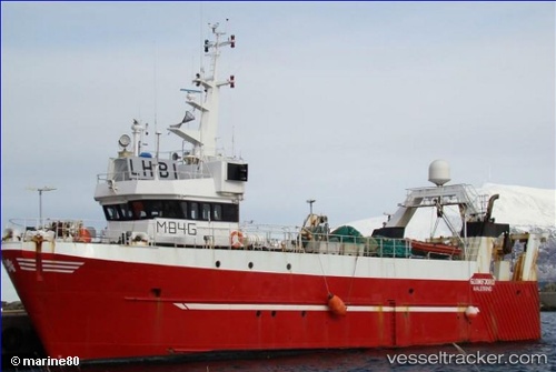
Vessel profile: DONA JANE is a Trawler with dimensions m x m.
This page combines live AIS, route history, probable destination signals, nearby traffic, and port activity for practical vessel monitoring.
The current position of vessel DONA JANE is -31.20055 lat / 15.96877 lng. Updated: 2026-05-18 17:30:33 UTCNearest reference points:
- 167 nm SW of Koiingnaas
- 154 nm W of Koiingnaas
- 161 nm W of Koiingnaas
Currently sailing under the flag of South Africa ![]()
Details:
Live Vessel DONA JANE Analytics (details, animations, etc.)
Recent AIS points (UTC):
2026-05-18 14:13:40 UTC · -31.19099, 16.09053 · SOG 3.4 kn · COG 309°2026-05-18 15:53:51 UTC · -31.15346, 15.99919 · SOG 2.8 kn · COG 265°
2026-05-18 16:33:57 UTC · -31.14958, 15.96030 · SOG 0.6 kn · COG 287°
2026-05-18 17:30:33 UTC · -31.20055, 15.96877 · SOG 6.5 kn · COG 139°