 WALRUS
Current Status
Where is the vessel?
WALRUS is currently in 13 nm S of Kumport, based on AIS data received about 14h ago.
Latest AIS update:
Current position: 40.74300° N, 28.92269° E (13 nm S of Kumport)
Average speed (last 7 days): Loading…
Average speed (last 30 days): Loading…
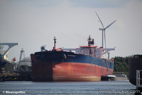
Vessel profile: WALRUS is a Crude Oil Tanker with dimensions m x m.
This page combines live AIS, route history, probable destination signals, nearby traffic, and port activity for practical vessel monitoring.
The current position of vessel WALRUS is 40.74300 lat / 28.92269 lng. Updated: 2026-05-20 05:43:31 UTCNearest reference points:
- 14 nm SW of Maltepe
- 10 nm SE of Kumport
- Near Kumport
Currently sailing under the flag of Cameroon ![]()
Details:
Live Vessel WALRUS Analytics (details, animations, etc.)
Recent AIS points (UTC):
2026-05-20 01:51:51 UTC · 40.75578, 28.94742 · SOG 0.4 kn · COG 303°2026-05-20 04:25:01 UTC · 40.74638, 28.93044 · SOG 0.3 kn · COG 293°
2026-05-20 04:25:51 UTC · 40.74631, 28.93036 · SOG 0.3 kn · COG 293°
2026-05-20 05:43:31 UTC · 40.74300, 28.92269 · SOG 0.2 kn · COG 317°