 ROYAL ICE
Current Status
Where is the vessel?
ROYAL ICE is currently in 45 nm NE of Port Sudan, based on AIS data received about 15h ago.
Latest AIS update:
Current position: 19.97166° N, 37.92675° E (45 nm NE of Port Sudan)
Average speed (last 7 days): Loading…
Average speed (last 30 days): Loading…
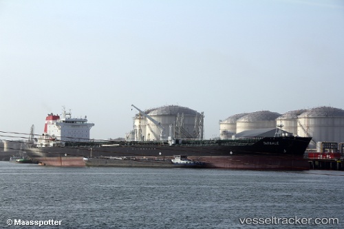
Vessel profile: ROYAL ICE is a Oil/Chemical Tanker with dimensions m x m.
This page combines live AIS, route history, probable destination signals, nearby traffic, and port activity for practical vessel monitoring.
The current position of vessel ROYAL ICE is 19.97166 lat / 37.92675 lng. Updated: 2026-05-19 14:22:14 UTCNearest reference points:
- Near Port Sudan
- 53 nm SW of SHUAIBAH
- 64 nm W of Tusdeer Free Zone
Currently sailing under the flag of Cameroon ![]()
Details:
Live Vessel ROYAL ICE Analytics (details, animations, etc.)
Recent AIS points (UTC):
2026-05-19 10:11:32 UTC · 19.99690, 37.91064 · SOG 0.3 kn · COG 107°2026-05-19 11:59:13 UTC · 19.98742, 37.91703 · SOG 0.4 kn · COG 105°
2026-05-19 13:21:03 UTC · 19.97925, 37.92238 · SOG 0.4 kn · COG 107°
2026-05-19 14:22:14 UTC · 19.97166, 37.92675 · SOG 0.5 kn · COG 83°