 vesseltracker.com
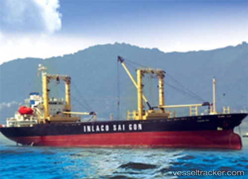
 MUSTANG 1
Current Status
Where is the vessel?
MUSTANG 1 is currently in 71 nm SW of Al Muajjiz, based on AIS data received about 16h ago.
Latest AIS update:
Current position: 22.50640° N, 37.62615° E (71 nm SW of Al Muajjiz)
Average speed (last 7 days): Loading…
Average speed (last 30 days): Loading…
Vessel profile: MUSTANG 1 is a General Cargo with dimensions m x m.
This page combines live AIS, route history, probable destination signals, nearby traffic, and port activity for practical vessel monitoring.
The current position of vessel MUSTANG 1 is 22.50640 lat / 37.62615 lng. Updated: 2026-05-17 22:03:33 UTCNearest reference points:
- 95 nm SW of Al Muajjiz
- 65 nm SW of King Abdullah City
- 67 nm W of Tusdeer Free Zone
Currently sailing under the flag of Comoros ![]()
Details:
Live Vessel MUSTANG 1 Analytics (details, animations, etc.)
Recent AIS points (UTC):
2026-05-17 19:33:34 UTC · 22.78059, 37.40431 · SOG 8.1 kn · COG -1°2026-05-17 21:54:16 UTC · 22.52167, 37.61167 · SOG 7 kn · COG -1°
2026-05-17 22:03:33 UTC · 22.50640, 37.62615 · SOG 7.8 kn · COG -1°
2026-05-17 22:03:33 UTC · 22.50640, 37.62615 · SOG 7.8 kn · COG -1°