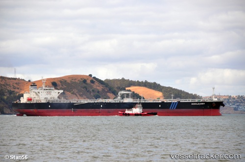
 Aqualeader
Current Status
Where is the vessel?
Aqualeader is currently in 115 nm NW of Sado Shima Apt, based on AIS data received about 15h ago.
Latest AIS update:
Current position: 38.91367° N, 136.21819° E (115 nm NW of Sado Shima Apt)
Average speed (last 7 days): Loading…
Average speed (last 30 days): Loading…
Vessel profile: Aqualeader is a Crude Oil Tanker with dimensions 249m x 45m.
This page combines live AIS, route history, probable destination signals, nearby traffic, and port activity for practical vessel monitoring.
The current position of vessel Aqualeader is 38.91367 lat / 136.21819 lng. Updated: 2026-05-20 04:12:15 UTCNearest reference points:
- 63 nm NW of Sado Shima Apt
- Near Toyama
Currently sailing under the flag of Liberia ![]()
Aqualeader built in 2011 year
Deadweight:
115669 tDetails:
Live Vessel Aqualeader Analytics (details, animations, etc.)
Recent AIS points (UTC):
2026-05-20 01:10:04 UTC · 38.51183, 135.58080 · SOG 12.3 kn · COG -1°2026-05-20 01:37:02 UTC · 38.57021, 135.67435 · SOG 12.6 kn · COG -1°
2026-05-20 03:27:11 UTC · 38.81689, 136.05544 · SOG 12.3 kn · COG -1°
2026-05-20 04:12:15 UTC · 38.91367, 136.21819 · SOG 13.1 kn · COG -1°