 Clearocean Maria
Current Status
Where is the vessel?
Clearocean Maria is currently in 199 nm E of NANTUCKET, based on AIS data received about 14h ago.
Latest AIS update:
Current position: 40.04604° N, 66.04190° W (199 nm E of NANTUCKET)
Average speed (last 7 days): Loading…
Average speed (last 30 days): Loading…
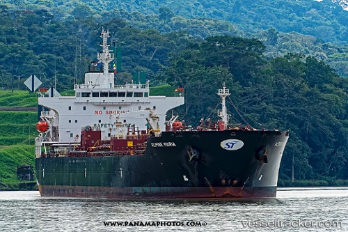
Vessel profile: Clearocean Maria is a Chemical Oil Products Tanker with dimensions 183m x 32m.
This page combines live AIS, route history, probable destination signals, nearby traffic, and port activity for practical vessel monitoring.
The current position of vessel Clearocean Maria is 40.04604 lat / -66.04190 lng. Updated: 2026-05-22 16:37:55 UTCNearest reference points:
- 273 nm SE of NANTUCKET
Currently sailing under the flag of Liberia ![]()
Details:
Live Vessel Clearocean Maria Analytics (details, animations, etc.)
Recent AIS points (UTC):
2026-05-22 13:45:37 UTC · 40.01969, -65.17104 · SOG 14.1 kn · COG 277°2026-05-22 15:18:32 UTC · 40.02220, -65.63794 · SOG 14.2 kn · COG 275°
2026-05-22 16:03:19 UTC · 40.02425, -65.87005 · SOG 14.5 kn · COG 273°
2026-05-22 16:37:55 UTC · 40.04604, -66.04190 · SOG 13.6 kn · COG 283°