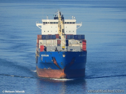
Bomar Rossi
Current StatusWhere is the vessel?
Bomar Rossi is currently in Near Port Raysut, based on AIS data received about 14h ago.
Latest AIS update:
Current position: 16.94409° N, 54.00380° E (Near Port Raysut)
Average speed (last 7 days): Loading…
Average speed (last 30 days): Loading…
Vessel profile: Bomar Rossi is a Container Ship with dimensions 32m x 228m.
This page combines live AIS, route history, probable destination signals, nearby traffic, and port activity for practical vessel monitoring.
The current position of vessel Bomar Rossi is 16.94409 lat / 54.00380 lng. Updated: 2026-05-23 01:40:55 UTCNearest reference points:
- 103 nm S of Port Raysut
- 106 nm S of Port Raysut
- 110 nm NE of Gross Koris
Details:
Live Vessel Bomar Rossi Analytics (details, animations, etc.)
Recent AIS points (UTC):
2026-05-22 22:31:57 UTC · 16.94410, 54.00364 · SOG 0 kn · COG 66°2026-05-23 00:13:59 UTC · 16.94415, 54.00385 · SOG 0 kn · COG 66°
2026-05-23 01:22:55 UTC · 16.94421, 54.00368 · SOG 0 kn · COG 67°
2026-05-23 01:40:55 UTC · 16.94409, 54.00380 · SOG 0 kn · COG 64°