 CAPE TRADER
Current Status
Where is the vessel?
CAPE TRADER is currently in Near AL JUBAIL, based on AIS data received about 14h ago.
Latest AIS update:
Current position: 27.07762° N, 49.67827° E (Near AL JUBAIL)
Average speed (last 7 days): Loading…
Average speed (last 30 days): Loading…
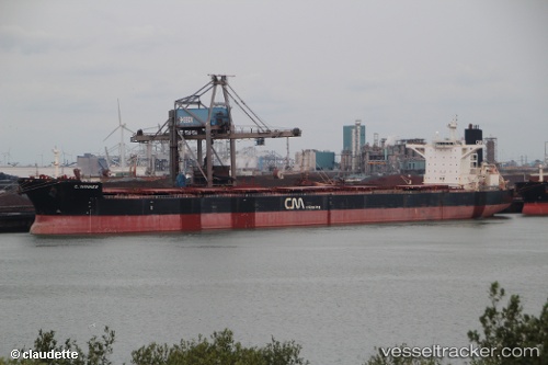
Vessel profile: CAPE TRADER is a Bulk Carrier with dimensions 290m x 45m.
This page combines live AIS, route history, probable destination signals, nearby traffic, and port activity for practical vessel monitoring.
The current position of vessel CAPE TRADER is 27.07762 lat / 49.67827 lng. Updated: 2026-05-19 22:20:10 UTCNearest reference points:
- Near Al Jubayl
- 13 nm NE of AL JUBAIL
- Near Al Jubayl Industrial City
Currently sailing under the flag of Liberia ![]()
CAPE TRADER built in 2008 year
Deadweight:
169237 tDetails:
Live Vessel CAPE TRADER Analytics (details, animations, etc.)
Recent AIS points (UTC):
2026-05-19 17:53:10 UTC · 27.07750, 49.67820 · SOG 0.1 kn · COG 181°2026-05-19 19:35:13 UTC · 27.07772, 49.67820 · SOG 0 kn · COG 181°
2026-05-19 19:38:13 UTC · 27.07767, 49.67823 · SOG 0 kn · COG 181°
2026-05-19 22:20:10 UTC · 27.07762, 49.67827 · SOG 0 kn · COG 181°