 RIVIERA
Current Status
Where is the vessel?
RIVIERA is currently in 199 nm NW of Palau, based on AIS data received about 14h ago.
Latest AIS update:
Current position: 12.31989° N, 136.27524° E (199 nm NW of Palau)
Average speed (last 7 days): Loading…
Average speed (last 30 days): Loading…
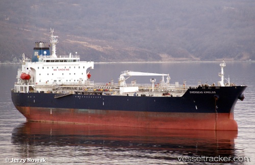
Vessel profile: RIVIERA is a Oil/Chemical Tanker with dimensions m x m.
This page combines live AIS, route history, probable destination signals, nearby traffic, and port activity for practical vessel monitoring.
The current position of vessel RIVIERA is 12.31989 lat / 136.27524 lng. Updated: 2026-05-21 19:38:53 UTCNearest reference points:
- 150 nm N of Palau
- 207 nm N of Palau
- 77 nm NW of Palau
Currently sailing under the flag of Liberia ![]()
Details:
Live Vessel RIVIERA Analytics (details, animations, etc.)
Recent AIS points (UTC):
2026-05-21 17:10:16 UTC · 12.73667, 136.06833 · SOG 10 kn · COG -1°2026-05-21 18:20:34 UTC · 12.54082, 136.16525 · SOG 11.1 kn · COG 153°
2026-05-21 19:19:16 UTC · 12.37500, 136.24667 · SOG 11 kn · COG -1°
2026-05-21 19:38:53 UTC · 12.31989, 136.27524 · SOG 11.2 kn · COG 152°