 BAM BAM
Current Status
Where is the vessel?
BAM BAM is currently in 103 nm S of Kaohsiung, based on AIS data received about 14h ago.
Latest AIS update:
Current position: 20.85912° N, 119.99679° E (103 nm S of Kaohsiung)
Average speed (last 7 days): Loading…
Average speed (last 30 days): Loading…
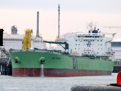
Vessel profile: BAM BAM is a Oil Products Tanker with dimensions m x m.
This page combines live AIS, route history, probable destination signals, nearby traffic, and port activity for practical vessel monitoring.
The current position of vessel BAM BAM is 20.85912 lat / 119.99679 lng. Updated: 2026-05-21 09:25:14 UTCNearest reference points:
- 106 nm W of Basco
- 101 nm S of Kaohsiung
- 132 nm SW of Kaohsiung
Currently sailing under the flag of Liberia ![]()
Details:
Live Vessel BAM BAM Analytics (details, animations, etc.)
Recent AIS points (UTC):
2026-05-21 05:39:44 UTC · 20.39935, 119.40094 · SOG 10.2 kn · COG 52°2026-05-21 07:59:43 UTC · 20.69304, 119.74416 · SOG 12.4 kn · COG 60°
2026-05-21 08:02:24 UTC · 20.69889, 119.75176 · SOG 12.5 kn · COG 60°
2026-05-21 09:25:14 UTC · 20.85912, 119.99679 · SOG 11.8 kn · COG 64°