 HARVEST UNITY
Current Status
Where is the vessel?
HARVEST UNITY is currently in 113 nm SE of Malokurilskoe, based on AIS data received about 14h ago.
Latest AIS update:
Current position: 42.58770° N, 148.70673° E (113 nm SE of Malokurilskoe)
Average speed (last 7 days): Loading…
Average speed (last 30 days): Loading…
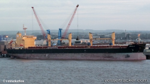
Vessel profile: HARVEST UNITY is a Bulk Carrier with dimensions m x m.
This page combines live AIS, route history, probable destination signals, nearby traffic, and port activity for practical vessel monitoring.
The current position of vessel HARVEST UNITY is 42.58770 lat / 148.70673 lng. Updated: 2026-05-21 19:42:09 UTCCurrently sailing under the flag of Liberia ![]()
Details:
Live Vessel HARVEST UNITY Analytics (details, animations, etc.)
Recent AIS points (UTC):
2026-05-21 16:33:02 UTC · 42.49732, 147.97296 · SOG 10.2 kn · COG 81°2026-05-21 17:29:03 UTC · 42.52148, 148.18617 · SOG 10.4 kn · COG 82°
2026-05-21 19:32:43 UTC · 42.58263, 148.66966 · SOG 10.6 kn · COG 82°
2026-05-21 19:42:09 UTC · 42.58770, 148.70673 · SOG 10.6 kn · COG 83°