 HIGH MARINER
Current Status
Where is the vessel?
HIGH MARINER is currently in 65 nm SW of Bourail, based on AIS data received about 16h ago.
Latest AIS update:
Current position: 22.42235° S, 164.77094° E (65 nm SW of Bourail)
Average speed (last 7 days): Loading…
Average speed (last 30 days): Loading…
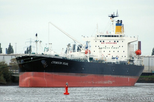
Vessel profile: HIGH MARINER is a Tanker with dimensions m x m.
This page combines live AIS, route history, probable destination signals, nearby traffic, and port activity for practical vessel monitoring.
The current position of vessel HIGH MARINER is -22.42235 lat / 164.77094 lng. Updated: 2026-05-20 19:27:33 UTCNearest reference points:
- Near Noumea
- 39 nm E of Ouvea
Currently sailing under the flag of Liberia ![]()
Details:
Live Vessel HIGH MARINER Analytics (details, animations, etc.)
Recent AIS points (UTC):
2026-05-20 15:37:08 UTC · -21.68020, 164.22716 · SOG 13.9 kn · COG 145°2026-05-20 16:02:22 UTC · -21.75986, 164.28529 · SOG 13.4 kn · COG 147°
2026-05-20 18:08:10 UTC · -22.16502, 164.58029 · SOG 14.3 kn · COG 146°
2026-05-20 19:27:33 UTC · -22.42235, 164.77094 · SOG 14.1 kn · COG 146°