 PAVO LEADER
Current Status
Where is the vessel?
PAVO LEADER is currently in 99 nm W of Lince, based on AIS data received about 14h ago.
Latest AIS update:
Current position: 11.64500° N, 78.66833° W (99 nm W of Lince)
Average speed (last 7 days): Loading…
Average speed (last 30 days): Loading…
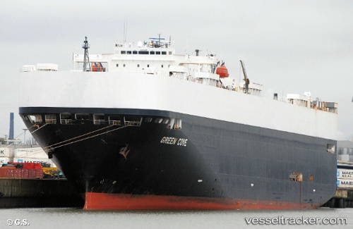
Vessel profile: PAVO LEADER is a Vehicles Carrier with dimensions m x m.
This page combines live AIS, route history, probable destination signals, nearby traffic, and port activity for practical vessel monitoring.
The current position of vessel PAVO LEADER is 11.64500 lat / -78.66833 lng. Updated: 2026-05-20 02:23:51 UTCNearest reference points:
- 62 nm NE of Playón Chico
- Near Colon
- Near COLON 2000
Currently sailing under the flag of Liberia ![]()
Details:
Live Vessel PAVO LEADER Analytics (details, animations, etc.)
Recent AIS points (UTC):
2026-05-19 22:59:54 UTC · 10.87333, -79.08333 · SOG 15 kn · COG -1°2026-05-20 00:23:51 UTC · 11.19167, -78.91833 · SOG 15 kn · COG -1°
2026-05-20 01:34:24 UTC · 11.45802, -78.77237 · SOG 15.7 kn · COG 31°
2026-05-20 02:23:51 UTC · 11.64500, -78.66833 · SOG 15 kn · COG -1°