 ORINOCCO
Current Status
Where is the vessel?
ORINOCCO is currently in 12 nm S of Abu Musa, based on AIS data received about 14h ago.
Latest AIS update:
Current position: 25.68470° N, 55.09723° E (12 nm S of Abu Musa)
Average speed (last 7 days): Loading…
Average speed (last 30 days): Loading…
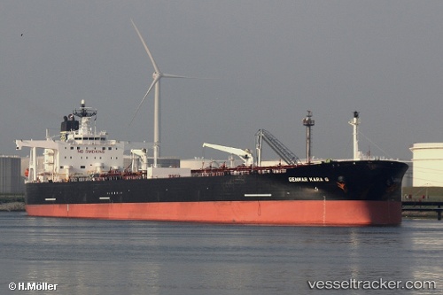
Vessel profile: ORINOCCO is a Crude Oil Tanker with dimensions m x m.
This page combines live AIS, route history, probable destination signals, nearby traffic, and port activity for practical vessel monitoring.
The current position of vessel ORINOCCO is 25.68470 lat / 55.09723 lng. Updated: 2026-05-18 22:20:45 UTCNearest reference points:
- 17 nm NW of Free Port
- Near Sharjah
- Near Free Port
Currently sailing under the flag of Liberia ![]()
Details:
Live Vessel ORINOCCO Analytics (details, animations, etc.)
Recent AIS points (UTC):
2026-05-18 19:33:18 UTC · 25.68397, 55.09728 · SOG 0 kn · COG 280°2026-05-18 19:44:03 UTC · 25.68448, 55.09750 · SOG 0.1 kn · COG 273°
2026-05-18 21:30:13 UTC · 25.68470, 55.09723 · SOG 0.2 kn · COG -1°
2026-05-18 22:20:45 UTC · 25.68470, 55.09723 · SOG 0.2 kn · COG -1°