 MARMOLADA
Current Status
Where is the vessel?
MARMOLADA is currently in 24 nm S of Goudiniweg, based on AIS data received about 14h ago.
Latest AIS update:
Current position: 34.99975° S, 19.21900° E (24 nm S of Goudiniweg)
Average speed (last 7 days): Loading…
Average speed (last 30 days): Loading…
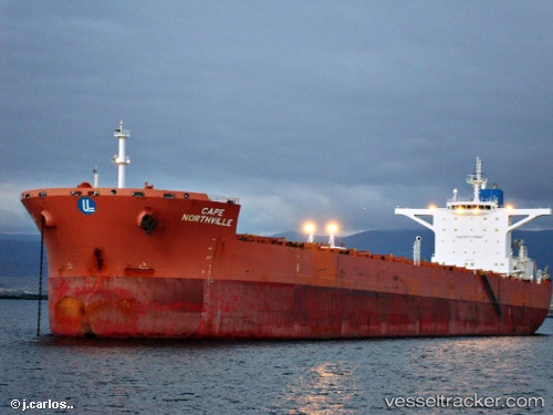
Vessel profile: MARMOLADA is a Bulk Carrier with dimensions m x m.
This page combines live AIS, route history, probable destination signals, nearby traffic, and port activity for practical vessel monitoring.
The current position of vessel MARMOLADA is -34.99975 lat / 19.21900 lng. Updated: 2026-05-20 00:01:50 UTCNearest reference points:
- 15 nm SE of Moorreesburg
- Near Mitchells Plain
- 18 nm SW of Cape Of Good Hope
Currently sailing under the flag of Liberia ![]()
Details:
Live Vessel MARMOLADA Analytics (details, animations, etc.)
Recent AIS points (UTC):
2026-05-19 20:10:10 UTC · -34.97281, 20.14147 · SOG 11.7 kn · COG 266°2026-05-19 21:39:41 UTC · -34.98618, 19.77746 · SOG 11.7 kn · COG 267°
2026-05-19 22:45:41 UTC · -34.99021, 19.51655 · SOG 11.6 kn · COG 265°
2026-05-20 00:01:50 UTC · -34.99975, 19.21900 · SOG 11.7 kn · COG 267°