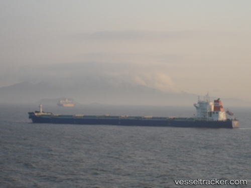
 MINOAN BAY
Current Status
Where is the vessel?
MINOAN BAY is currently in 21 nm SE of Offshore Fujairah, based on AIS data received about 2d ago.
Latest AIS update:
Current position: 25.10338° N, 57.01785° E (21 nm SE of Offshore Fujairah)
Average speed (last 7 days): Loading…
Average speed (last 30 days): Loading…
Vessel profile: MINOAN BAY is a Bulk Carrier with dimensions m x m.
This page combines live AIS, route history, probable destination signals, nearby traffic, and port activity for practical vessel monitoring.
The current position of vessel MINOAN BAY is 25.10338 lat / 57.01785 lng. Updated: 2026-05-19 08:34:05 UTCNearest reference points:
- Near Offshore Fujairah
- 42 nm SE of Offshore Fujairah
- Near Fujairah
Currently sailing under the flag of Liberia ![]()
Details:
Live Vessel MINOAN BAY Analytics (details, animations, etc.)
Recent AIS points (UTC):
2026-05-19 08:34:05 UTC · 25.10338, 57.01785 · SOG 9.4 kn · COG 289°2026-05-19 08:34:05 UTC · 25.10338, 57.01785 · SOG 9.4 kn · COG 289°
2026-05-19 08:34:05 UTC · 25.10338, 57.01785 · SOG 9.4 kn · COG 289°
2026-05-19 08:34:05 UTC · 25.10338, 57.01785 · SOG 9.4 kn · COG 289°