 MILA SAN
Current Status
Where is the vessel?
MILA SAN is currently in Near Puerto San José, based on AIS data received about 15h ago.
Latest AIS update:
Current position: 13.88405° N, 90.81777° W (Near Puerto San José)
Average speed (last 7 days): Loading…
Average speed (last 30 days): Loading…
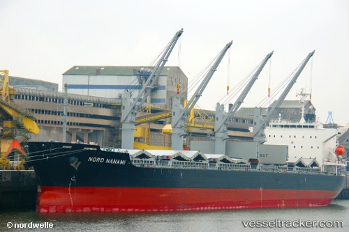
Vessel profile: MILA SAN is a Bulk Carrier with dimensions m x m.
This page combines live AIS, route history, probable destination signals, nearby traffic, and port activity for practical vessel monitoring.
The current position of vessel MILA SAN is 13.88405 lat / -90.81777 lng. Updated: 2026-05-21 00:02:01 UTCNearest reference points:
- Near San Jose
Currently sailing under the flag of Liberia ![]()
Details:
Live Vessel MILA SAN Analytics (details, animations, etc.)
Recent AIS points (UTC):
2026-05-20 19:26:01 UTC · 13.88526, -90.81759 · SOG 0.2 kn · COG 261°2026-05-20 21:32:01 UTC · 13.88599, -90.81794 · SOG 0.2 kn · COG 237°
2026-05-20 22:38:01 UTC · 13.88522, -90.81756 · SOG 0.5 kn · COG 257°
2026-05-21 00:02:01 UTC · 13.88405, -90.81777 · SOG 0.4 kn · COG 296°