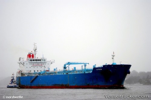
 LILA KINGSTON
Current Status
Where is the vessel?
LILA KINGSTON is currently in Near LIMAY, based on AIS data received about 14h ago.
Latest AIS update:
Current position: 14.53326° N, 120.61760° E (Near LIMAY)
Average speed (last 7 days): Loading…
Average speed (last 30 days): Loading…
Vessel profile: LILA KINGSTON is a Oil/Chemical Tanker with dimensions m x m.
This page combines live AIS, route history, probable destination signals, nearby traffic, and port activity for practical vessel monitoring.
The current position of vessel LILA KINGSTON is 14.53326 lat / 120.61760 lng. Updated: 2026-05-19 22:17:07 UTCNearest reference points:
- Near Noveleta
- Near Malabon
- Near MANILA SOUTH HARBOR
Currently sailing under the flag of Liberia ![]()
Details:
Live Vessel LILA KINGSTON Analytics (details, animations, etc.)
Recent AIS points (UTC):
2026-05-19 19:35:05 UTC · 14.53325, 120.61765 · SOG 0 kn · COG -1°2026-05-19 19:56:11 UTC · 14.53325, 120.61765 · SOG 0 kn · COG -1°
2026-05-19 21:21:18 UTC · 14.53325, 120.61765 · SOG 0 kn · COG -1°
2026-05-19 22:17:07 UTC · 14.53326, 120.61760 · SOG 0 kn · COG 355°