 MIREA
MIREA
Current Status
Where is the vessel?
MIREA is currently in 62 nm S of Las Brujas, based on AIS data received about 14h ago.
Latest AIS update:
Current position: 22.58765° N, 18.16013° W (62 nm S of Las Brujas)
Average speed (last 7 days): Loading…
Average speed (last 30 days): Loading…
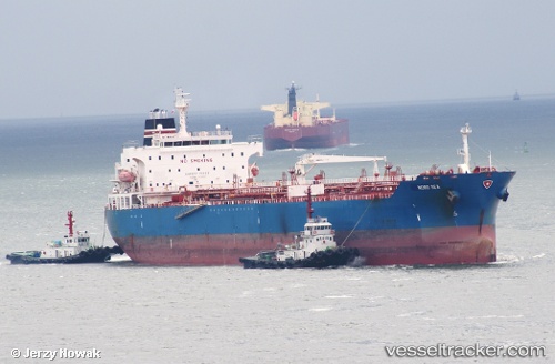
Vessel profile: MIREA is a Oil/Chemical Tanker with dimensions m x m.
This page combines live AIS, route history, probable destination signals, nearby traffic, and port activity for practical vessel monitoring.
The current position of vessel MIREA is 22.58765 lat / -18.16013 lng. Updated: 2026-05-20 01:55:14 UTCNearest reference points:
- 41 nm NW of Nouadhibou
- Near Nouadhibou
- 68 nm NW of Ad Dakhla
Currently sailing under the flag of Liberia ![]()
Details:
Live Vessel MIREA Analytics (details, animations, etc.)
Recent AIS points (UTC):
2026-05-19 23:08:07 UTC · 23.15107, -17.95827 · SOG 13.1 kn · COG 210°2026-05-20 00:08:43 UTC · 22.95705, -18.07946 · SOG 13.1 kn · COG 209°
2026-05-20 01:13:54 UTC · 22.73568, -18.15145 · SOG 12.7 kn · COG 184°
2026-05-20 01:55:14 UTC · 22.58765, -18.16013 · SOG 13 kn · COG 182°