 ROYAL H
Current Status
Where is the vessel?
ROYAL H is currently in 31 nm NE of Qalhat, based on AIS data received about 15h ago.
Latest AIS update:
Current position: 23.14230° N, 59.64165° E (31 nm NE of Qalhat)
Average speed (last 7 days): Loading…
Average speed (last 30 days): Loading…
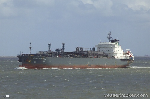
Vessel profile: ROYAL H is a Lpg Tanker with dimensions m x m.
This page combines live AIS, route history, probable destination signals, nearby traffic, and port activity for practical vessel monitoring.
The current position of vessel ROYAL H is 23.14230 lat / 59.64165 lng. Updated: 2026-05-23 01:41:04 UTCNearest reference points:
- 23 nm NE of Qalhat
- 52 nm NE of SUR
- 59 nm S of Chah Bahar
Currently sailing under the flag of Malawi ![]()
Details:
Live Vessel ROYAL H Analytics (details, animations, etc.)
Recent AIS points (UTC):
2026-05-22 22:31:05 UTC · 23.06959, 59.68453 · SOG 5.9 kn · COG 9°2026-05-23 00:07:54 UTC · 23.10442, 59.66636 · SOG 1.6 kn · COG 215°
2026-05-23 01:20:54 UTC · 23.13329, 59.64746 · SOG 1.9 kn · COG 250°
2026-05-23 01:41:04 UTC · 23.14230, 59.64165 · SOG 1.8 kn · COG 247°