 OSAR
OSAR
Current Status
Where is the vessel?
OSAR is currently in 21 nm NW of Karkinagri Ikarias, based on AIS data received about 15h ago.
Latest AIS update:
Current position: 37.73267° N, 25.66493° E (21 nm NW of Karkinagri Ikarias)
Average speed (last 7 days): Loading…
Average speed (last 30 days): Loading…
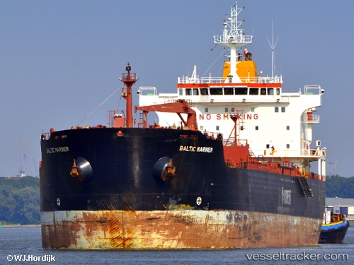
Vessel profile: OSAR is a Oil/Chemical Tanker with dimensions m x m.
This page combines live AIS, route history, probable destination signals, nearby traffic, and port activity for practical vessel monitoring.
The current position of vessel OSAR is 37.73267 lat / 25.66493 lng. Updated: 2026-05-20 05:44:48 UTCNearest reference points:
- 13 nm NW of Karkinagri Ikarias
- Near MYKONOS OLD PORT
- Near Delos
Currently sailing under the flag of Sierra Leone ![]()
Details:
Live Vessel OSAR Analytics (details, animations, etc.)
Recent AIS points (UTC):
2026-05-20 01:50:09 UTC · 37.22675, 26.35381 · SOG 13 kn · COG 307°2026-05-20 04:24:28 UTC · 37.49812, 25.78526 · SOG 12.1 kn · COG 302°
2026-05-20 04:27:39 UTC · 37.50499, 25.77590 · SOG 11.5 kn · COG 335°
2026-05-20 05:44:48 UTC · 37.73267, 25.66493 · SOG 11.3 kn · COG 338°