 BULLAR
Current Status
Where is the vessel?
BULLAR is currently in 53 nm S of Faro, based on AIS data received about 15h ago.
Latest AIS update:
Current position: 36.13054° N, 7.83120° W (53 nm S of Faro)
Average speed (last 7 days): Loading…
Average speed (last 30 days): Loading…
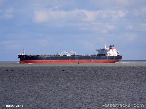
Vessel profile: BULLAR is a Crude Oil Tanker with dimensions m x m.
This page combines live AIS, route history, probable destination signals, nearby traffic, and port activity for practical vessel monitoring.
The current position of vessel BULLAR is 36.13054 lat / -7.83120 lng. Updated: 2026-05-19 05:45:56 UTCNearest reference points:
- 42 nm S of Faro
- 45 nm W of Gibraltar
- Near Olhão
Currently sailing under the flag of Sierra Leone ![]()
Details:
Live Vessel BULLAR Analytics (details, animations, etc.)
Recent AIS points (UTC):
2026-05-19 01:31:00 UTC · 36.05667, -7.29167 · SOG 7 kn · COG -1°2026-05-19 03:45:27 UTC · 36.10221, -7.59964 · SOG 5.6 kn · COG 280°
2026-05-19 04:54:48 UTC · 36.11818, -7.73377 · SOG 5.7 kn · COG 280°
2026-05-19 05:45:56 UTC · 36.13054, -7.83120 · SOG 5.5 kn · COG 279°