 ANAKIN
Current Status
Where is the vessel?
ANAKIN is currently in Near Cartagena, based on AIS data received about 14h ago.
Latest AIS update:
Current position: 37.59155° N, 0.97459° W (Near Cartagena)
Average speed (last 7 days): Loading…
Average speed (last 30 days): Loading…
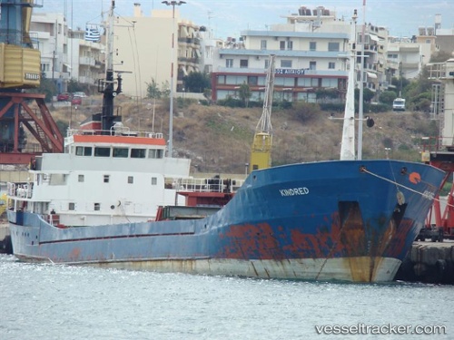
Vessel profile: ANAKIN is a Livestock Carrier with dimensions 13m x 91m.
This page combines live AIS, route history, probable destination signals, nearby traffic, and port activity for practical vessel monitoring.
The current position of vessel ANAKIN is 37.59155 lat / -0.97459 lng. Updated: 2026-05-21 12:25:09 UTCNearest reference points:
- Near Cartagena
- Near ESCOMBRERAS
- Near Mazarrón
Currently sailing under the flag of Togo ![]()
ANAKIN built in 1976 year
Deadweight:
3210 tDetails:
Live Vessel ANAKIN Analytics (details, animations, etc.)
Recent AIS points (UTC):
2026-05-21 07:53:09 UTC · 37.59154, -0.97459 · SOG 0 kn · COG 209°2026-05-21 10:05:10 UTC · 37.59154, -0.97459 · SOG 0 kn · COG 210°
2026-05-21 11:07:23 UTC · 37.59155, -0.97459 · SOG 0 kn · COG 209°
2026-05-21 12:25:09 UTC · 37.59155, -0.97459 · SOG 0 kn · COG 209°