 vesseltracker.com
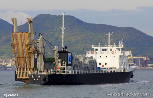
 OTANI
OTANI
Current Status
Where is the vessel?
OTANI is currently in 41 nm S of Vityaz, based on AIS data received about 15h ago.
Latest AIS update:
Current position: 41.95790° N, 131.46634° E (41 nm S of Vityaz)
Average speed (last 7 days): Loading…
Average speed (last 30 days): Loading…
Vessel profile: OTANI is a Cargo with dimensions m x m.
This page combines live AIS, route history, probable destination signals, nearby traffic, and port activity for practical vessel monitoring.
The current position of vessel OTANI is 41.95790 lat / 131.46634 lng. Updated: 2026-05-17 21:57:57 UTCNearest reference points:
- 26 nm S of Askold
- Near POSYET
- Near Slavyanka
Currently sailing under the flag of Togo ![]()
Details:
Live Vessel OTANI Analytics (details, animations, etc.)
Recent AIS points (UTC):
2026-05-17 21:57:57 UTC · 41.95790, 131.46634 · SOG 11.4 kn · COG 194°2026-05-17 21:57:57 UTC · 41.95790, 131.46634 · SOG 11.4 kn · COG 194°
2026-05-17 21:57:57 UTC · 41.95790, 131.46634 · SOG 11.4 kn · COG 194°
2026-05-17 21:57:57 UTC · 41.95790, 131.46634 · SOG 11.4 kn · COG 194°