 vesseltracker.com
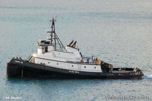
 Nola Gail
Current Status
Where is the vessel?
Nola Gail is currently in 10 nm NE of PORT MCNEILL, based on AIS data received about 15h ago.
Latest AIS update:
Current position: 50.72127° N, 126.91250° W (10 nm NE of PORT MCNEILL)
Average speed (last 7 days): Loading…
Average speed (last 30 days): Loading…
Vessel profile: Nola Gail is a Tug with dimensions 32m x 10m.
This page combines live AIS, route history, probable destination signals, nearby traffic, and port activity for practical vessel monitoring.
The current position of vessel Nola Gail is 50.72127 lat / -126.91250 lng. Updated: 2026-05-18 01:23:46 UTCNearest reference points:
- Near PORT HARDY
- 29 nm NW of Coal Harbour
- 63 nm N of PORT HARDY
Currently sailing under the flag of USA ![]()
Nola Gail built in 1971 year
Details:
Live Vessel Nola Gail Analytics (details, animations, etc.)
Recent AIS points (UTC):
2026-05-17 22:29:46 UTC · 50.55776, -126.76594 · SOG 6.6 kn · COG 296°2026-05-17 23:27:36 UTC · 50.59833, -126.82067 · SOG 5.2 kn · COG 333°
2026-05-18 01:13:56 UTC · 50.71082, -126.89685 · SOG 5.2 kn · COG 310°
2026-05-18 01:23:46 UTC · 50.72127, -126.91250 · SOG 5.3 kn · COG 312°