 vesseltracker.com
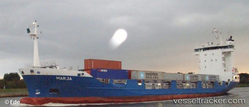
 MARIA
MARIA
Current Status
Where is the vessel?
MARIA is currently in Near Tarnos, based on AIS data received about 15h ago.
Latest AIS update:
Current position: 43.59618° N, 1.59329° W (Near Tarnos)
Average speed (last 7 days): Loading…
Average speed (last 30 days): Loading…
Vessel profile: MARIA is a Standby Safety Vessel with dimensions m x m.
This page combines live AIS, route history, probable destination signals, nearby traffic, and port activity for practical vessel monitoring.
The current position of vessel MARIA is 43.59618 lat / -1.59329 lng. Updated: 2026-05-17 23:29:53 UTCNearest reference points:
- Near Tarnos
- Near Capbreton
- Near HENDAYE
Currently sailing under the flag of San Marino ![]()
Details:
Live Vessel MARIA Analytics (details, animations, etc.)
Recent AIS points (UTC):
2026-05-17 19:47:59 UTC · 43.61548, -1.51076 · SOG 3.4 kn · COG 252°2026-05-17 22:02:06 UTC · 43.58085, -1.60384 · SOG 2.3 kn · COG 244°
2026-05-17 22:20:53 UTC · 43.58020, -1.60387 · SOG 1 kn · COG 226°
2026-05-17 23:29:53 UTC · 43.59618, -1.59329 · SOG 0.9 kn · COG 192°