 vesseltracker.com
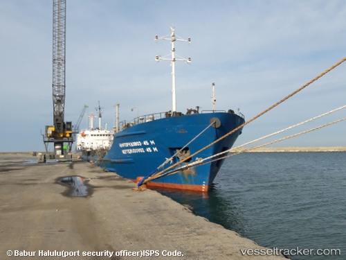
 KHORYV
Current Status
Where is the vessel?
KHORYV is currently in 33 nm E of Baia, based on AIS data received about 14h ago.
Latest AIS update:
Current position: 44.54433° N, 29.39328° E (33 nm E of Baia)
Average speed (last 7 days): Loading…
Average speed (last 30 days): Loading…
Vessel profile: KHORYV is a Ore/Oil Carrier with dimensions m x m.
This page combines live AIS, route history, probable destination signals, nearby traffic, and port activity for practical vessel monitoring.
The current position of vessel KHORYV is 44.54433 lat / 29.39328 lng. Updated: 2026-05-18 09:44:06 UTCNearest reference points:
- 20 nm E of Eforie Sud
- 12 nm SE of Sulina (Port et Zone Franche)
- Near MIDIA
Currently sailing under the flag of Comoros ![]()
Details:
Live Vessel KHORYV Analytics (details, animations, etc.)
Recent AIS points (UTC):
2026-05-18 05:55:06 UTC · 44.90046, 29.75090 · SOG 5.3 kn · COG 191°2026-05-18 07:18:06 UTC · 44.74583, 29.67960 · SOG 7 kn · COG 228°
2026-05-18 07:50:25 UTC · 44.70413, 29.61022 · SOG 7.3 kn · COG 225°
2026-05-18 09:44:06 UTC · 44.54433, 29.39328 · SOG 7.1 kn · COG 207°