 vesseltracker.com
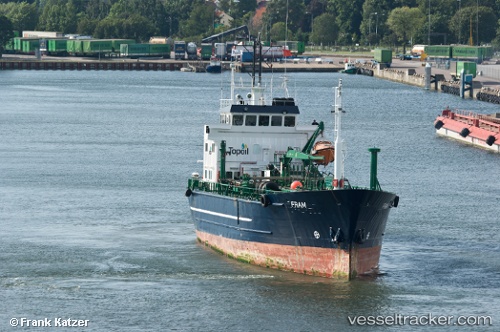
 CONRAD H
Current Status
Where is the vessel?
CONRAD H is currently in 44 nm W of Cockburn Harbour, based on AIS data received about 15h ago.
Latest AIS update:
Current position: 21.71820° N, 72.28396° W (44 nm W of Cockburn Harbour)
Average speed (last 7 days): Loading…
Average speed (last 30 days): Loading…
Vessel profile: CONRAD H is a Oil Products Tanker with dimensions m x m.
This page combines live AIS, route history, probable destination signals, nearby traffic, and port activity for practical vessel monitoring.
The current position of vessel CONRAD H is 21.71820 lat / -72.28396 lng. Updated: 2026-05-17 23:34:11 UTCNearest reference points:
- 47 nm SW of Cockburn Harbour
- 38 nm SW of Cockburn Harbour
- 56 nm SW of Cockburn Harbour
Currently sailing under the flag of San Marino ![]()
Details:
Live Vessel CONRAD H Analytics (details, animations, etc.)
Recent AIS points (UTC):
2026-05-17 20:13:13 UTC · 21.71823, -72.28404 · SOG 0 kn · COG 81°2026-05-17 22:10:13 UTC · 21.71810, -72.28392 · SOG 0.1 kn · COG 37°
2026-05-17 22:22:11 UTC · 21.71810, -72.28388 · SOG 0 kn · COG 32°
2026-05-17 23:34:11 UTC · 21.71820, -72.28396 · SOG 0 kn · COG 44°