 LADY JAMILA
Current Status
Where is the vessel?
LADY JAMILA is currently in 68 nm S of Akrotiri, based on AIS data received about 16h ago.
Latest AIS update:
Current position: 33.48114° N, 33.16139° E (68 nm S of Akrotiri)
Average speed (last 7 days): Loading…
Average speed (last 30 days): Loading…
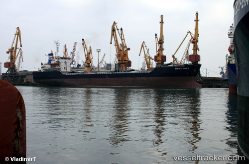
Vessel profile: LADY JAMILA is a General Cargo with dimensions m x m.
This page combines live AIS, route history, probable destination signals, nearby traffic, and port activity for practical vessel monitoring.
The current position of vessel LADY JAMILA is 33.48114 lat / 33.16139 lng. Updated: 2026-05-20 01:50:09 UTCNearest reference points:
- 31 nm SE of Vasilikos
- 17 nm S of Vasilikos
- Near Limassol
Currently sailing under the flag of Palau ![]()
Details:
Live Vessel LADY JAMILA Analytics (details, animations, etc.)
Recent AIS points (UTC):
2026-05-19 22:33:21 UTC · 33.01598, 32.39876 · SOG 14.5 kn · COG 54°2026-05-19 23:46:02 UTC · 33.18560, 32.68136 · SOG 14.5 kn · COG 51°
2026-05-20 01:23:09 UTC · 33.41922, 33.05613 · SOG 14.3 kn · COG 55°
2026-05-20 01:50:09 UTC · 33.48114, 33.16139 · SOG 14.4 kn · COG 55°