 vesseltracker.com
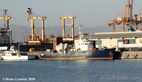
 FLEUR DU CAP
Current Status
Where is the vessel?
FLEUR DU CAP is currently in Near SALDANHA, based on AIS data received about 539d ago.
Latest AIS update:
Current position: 33.02591° S, 17.96086° E (Near SALDANHA)
Average speed (last 7 days): Loading…
Average speed (last 30 days): Loading…
Vessel profile: FLEUR DU CAP is a Utility Vessel with dimensions 8m x 38m.
This page combines live AIS, route history, probable destination signals, nearby traffic, and port activity for practical vessel monitoring.
The current position of vessel FLEUR DU CAP is -33.02591 lat / 17.96086 lng. Updated: 2024-11-25 08:15:00 UTCNearest reference points:
- Near Saint Helena Bay
- Near Laaiplek
- 12 nm W of ROBBEN ISLAND
Currently sailing under the flag of Panama ![]()
FLEUR DU CAP built in 1969 year
Deadweight:
0 tDetails:
Live Vessel FLEUR DU CAP Analytics (details, animations, etc.)
Recent AIS points (UTC):
2024-11-25 08:15:00 UTC · -33.02591, 17.96086 · SOG 0 kn · COG 224°