 vesseltracker.com
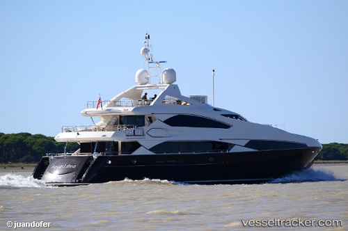
Sullivans Island
Current StatusWhere is the vessel?
Sullivans Island is currently in Near Miami, based on AIS data received about 15h ago.
Latest AIS update:
Current position: 25.78492° N, 80.17902° W (Near Miami)
Average speed (last 7 days): Loading…
Average speed (last 30 days): Loading…
Vessel profile: Sullivans Island is a Service Ship with dimensions 8m x 37m.
This page combines live AIS, route history, probable destination signals, nearby traffic, and port activity for practical vessel monitoring.
The current position of vessel Sullivans Island is 25.78492 lat / -80.17902 lng. Updated: 2026-05-17 22:23:16 UTCNearest reference points:
- Near Miami
- Near Miami River
- Near Miami Beach
Details:
Live Vessel Sullivans Island Analytics (details, animations, etc.)
Recent AIS points (UTC):
2026-05-17 19:51:07 UTC · 25.78494, -80.17902 · SOG 0 kn · COG 322°2026-05-17 20:13:47 UTC · 25.78495, -80.17904 · SOG 0 kn · COG 321°
2026-05-17 22:11:58 UTC · 25.78491, -80.17904 · SOG 0 kn · COG 321°
2026-05-17 22:23:16 UTC · 25.78492, -80.17902 · SOG 0 kn · COG 322°