 Manitoulin
Current Status
Where is the vessel?
Manitoulin is currently in Near Port Huron, based on AIS data received about 14h ago.
Latest AIS update:
Current position: 42.98111° N, 82.41759° W (Near Port Huron)
Average speed (last 7 days): Loading…
Average speed (last 30 days): Loading…
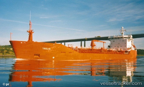
Vessel profile: Manitoulin is a Self Discharging Bulk Carrier with dimensions 203m x 24m.
This page combines live AIS, route history, probable destination signals, nearby traffic, and port activity for practical vessel monitoring.
The current position of vessel Manitoulin is 42.98111 lat / -82.41759 lng. Updated: 2026-05-20 05:53:44 UTCNearest reference points:
- Near Fort Gratiot
- Near Saint Clair Shores
- Near Walkerville
Currently sailing under the flag of Canada ![]()
Manitoulin built in 1991 year
Deadweight:
14986 tDetails:
Live Vessel Manitoulin Analytics (details, animations, etc.)
Recent AIS points (UTC):
2026-05-20 02:24:04 UTC · 42.53427, -82.63608 · SOG 9.4 kn · COG 64°2026-05-20 03:57:44 UTC · 42.73262, -82.48271 · SOG 9.4 kn · COG 10°
2026-05-20 04:39:04 UTC · 42.82948, -82.47993 · SOG 8.2 kn · COG 25°
2026-05-20 05:53:44 UTC · 42.98111, -82.41759 · SOG 8.3 kn · COG 329°