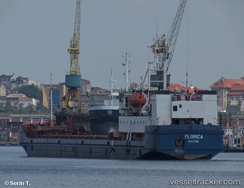
 FLORICA
Current Status
Where is the vessel?
FLORICA is currently in 18 nm SW of Yesilovacik, based on AIS data received about 14h ago.
Latest AIS update:
Current position: 35.96494° N, 33.44695° E (18 nm SW of Yesilovacik)
Average speed (last 7 days): Loading…
Average speed (last 30 days): Loading…
Vessel profile: FLORICA is a General Cargo with dimensions m x m.
This page combines live AIS, route history, probable destination signals, nearby traffic, and port activity for practical vessel monitoring.
The current position of vessel FLORICA is 35.96494 lat / 33.44695 lng. Updated: 2026-05-21 07:21:22 UTCNearest reference points:
- 15 nm SW of Yesilovacik
- 20 nm SW of Yesilovacik
- Near Larnaca
Currently sailing under the flag of Nauru ![]()
Details:
Live Vessel FLORICA Analytics (details, animations, etc.)
Recent AIS points (UTC):
2026-05-21 03:45:21 UTC · 35.94974, 33.02228 · SOG 5.6 kn · COG 96°2026-05-21 04:36:31 UTC · 35.94583, 33.12073 · SOG 5.8 kn · COG 94°
2026-05-21 05:21:52 UTC · 35.94614, 33.21001 · SOG 5.8 kn · COG 96°
2026-05-21 07:21:22 UTC · 35.96494, 33.44695 · SOG 5.9 kn · COG 80°