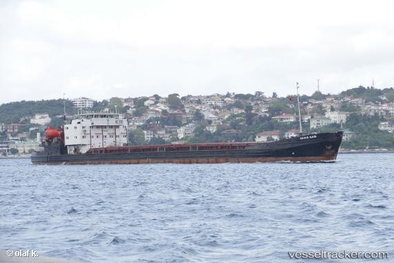
 RIVER RAIN
Current Status
Where is the vessel?
RIVER RAIN is currently in 14 nm N of Ayancik, based on AIS data received about 2d ago.
Latest AIS update:
Current position: 42.15680° N, 34.50585° E (14 nm N of Ayancik)
Average speed (last 7 days): Loading…
Average speed (last 30 days): Loading…
Vessel profile: RIVER RAIN is a General Cargo with dimensions m x m.
This page combines live AIS, route history, probable destination signals, nearby traffic, and port activity for practical vessel monitoring.
The current position of vessel RIVER RAIN is 42.15680 lat / 34.50585 lng. Updated: 2026-05-17 07:23:07 UTCNearest reference points:
- 51 nm N of Sinop
- 18 nm NW of INEBOLU
- 27 nm NW of INEBOLU
Currently sailing under the flag of Palau ![]()
Details:
Live Vessel RIVER RAIN Analytics (details, animations, etc.)
Recent AIS points (UTC):
2026-05-17 07:23:07 UTC · 42.15680, 34.50585 · SOG 8.3 kn · COG 67°2026-05-17 07:23:07 UTC · 42.15680, 34.50585 · SOG 8.3 kn · COG 67°
2026-05-17 07:23:07 UTC · 42.15680, 34.50585 · SOG 8.3 kn · COG 67°
2026-05-17 07:23:07 UTC · 42.15680, 34.50585 · SOG 8.3 kn · COG 67°