 vesseltracker.com
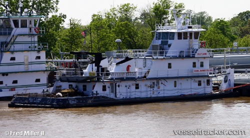
 Elly Lane
Current Status
Where is the vessel?
Elly Lane is currently in Near Pasadena, based on AIS data received about 14h ago.
Latest AIS update:
Current position: 29.71339° N, 95.25153° W (Near Pasadena)
Average speed (last 7 days): Loading…
Average speed (last 30 days): Loading…
Vessel profile: Elly Lane is a Tug with dimensions 29m x 10m.
This page combines live AIS, route history, probable destination signals, nearby traffic, and port activity for practical vessel monitoring.
The current position of vessel Elly Lane is 29.71339 lat / -95.25153 lng. Updated: 2026-05-18 13:40:49 UTCNearest reference points:
- Near Pasadena
- Near Jacinto City
- Near Morgan Point
Currently sailing under the flag of USA ![]()
Details:
Live Vessel Elly Lane Analytics (details, animations, etc.)
Recent AIS points (UTC):
2026-05-18 11:10:51 UTC · 29.71337, -95.25153 · SOG 0 kn · COG 87°2026-05-18 11:52:45 UTC · 29.71337, -95.25153 · SOG 0 kn · COG 87°
2026-05-18 13:28:52 UTC · 29.71338, -95.25155 · SOG 0 kn · COG 87°
2026-05-18 13:40:49 UTC · 29.71339, -95.25153 · SOG 0 kn · COG 87°