 FATIMA
Current Status
Where is the vessel?
FATIMA is currently in Near Kalianak Barat, based on AIS data received about 14h ago.
Latest AIS update:
Current position: 7.18362° S, 112.70203° E (Near Kalianak Barat)
Average speed (last 7 days): Loading…
Average speed (last 30 days): Loading…
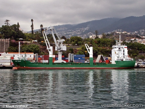
Vessel profile: FATIMA is a General Cargo Ship with dimensions 17m x 106m.
This page combines live AIS, route history, probable destination signals, nearby traffic, and port activity for practical vessel monitoring.
The current position of vessel FATIMA is -7.18362 lat / 112.70203 lng. Updated: 2026-05-19 11:37:53 UTCNearest reference points:
- Near Tanjung Perak
- Near Kalianak Barat
- Near GRESIK
Currently sailing under the flag of Indonesia ![]()
FATIMA built in 1992 year
Deadweight:
5314 tDetails:
Live Vessel FATIMA Analytics (details, animations, etc.)
Recent AIS points (UTC):
2026-05-19 07:32:10 UTC · -7.18334, 112.69920 · SOG 2.1 kn · COG 100°2026-05-19 10:19:52 UTC · -7.18441, 112.70151 · SOG 0.2 kn · COG 342°
2026-05-19 11:13:53 UTC · -7.18366, 112.70199 · SOG 0 kn · COG 301°
2026-05-19 11:37:53 UTC · -7.18362, 112.70203 · SOG 0 kn · COG 294°