 ISLA TAUTIL
Current Status
Where is the vessel?
ISLA TAUTIL is currently in 26 nm SE of Melinka, based on AIS data received about 15h ago.
Latest AIS update:
Current position: 44.17415° S, 73.30988° W (26 nm SE of Melinka)
Average speed (last 7 days): Loading…
Average speed (last 30 days): Loading…
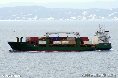
Vessel profile: ISLA TAUTIL is a General Cargo Ship with dimensions 13m x 83m.
This page combines live AIS, route history, probable destination signals, nearby traffic, and port activity for practical vessel monitoring.
The current position of vessel ISLA TAUTIL is -44.17415 lat / -73.30988 lng. Updated: 2026-05-18 20:04:24 UTCNearest reference points:
- Near Melinka
- Near Quellón (Puerto Quellón)
- Near Chonchi
Currently sailing under the flag of Chile ![]()
ISLA TAUTIL built in 1991 year
Deadweight:
2750 tDetails:
Live Vessel ISLA TAUTIL Analytics (details, animations, etc.)
Recent AIS points (UTC):
2026-05-18 16:35:13 UTC · -44.55115, -72.68418 · SOG 10.8 kn · COG 16°2026-05-18 17:36:13 UTC · -44.42155, -72.83338 · SOG 11.6 kn · COG 294°
2026-05-18 19:36:24 UTC · -44.25705, -73.27298 · SOG 10.8 kn · COG 329°
2026-05-18 20:04:24 UTC · -44.17415, -73.30988 · SOG 11.3 kn · COG 349°