 SNP SKY
Current Status
Where is the vessel?
SNP SKY is currently in Near GEMLIK, based on AIS data received about 14h ago.
Latest AIS update:
Current position: 40.44338° N, 29.11632° E (Near GEMLIK)
Average speed (last 7 days): Loading…
Average speed (last 30 days): Loading…
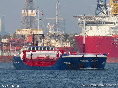
Vessel profile: SNP SKY is a General Cargo with dimensions m x m.
This page combines live AIS, route history, probable destination signals, nearby traffic, and port activity for practical vessel monitoring.
The current position of vessel SNP SKY is 40.44338 lat / 29.11632 lng. Updated: 2026-05-18 18:20:05 UTCNearest reference points:
- Near GEMLIK
- 11 nm S of Maltepe
- 14 nm SW of Maltepe
Currently sailing under the flag of Bahamas ![]()
Details:
Live Vessel SNP SKY Analytics (details, animations, etc.)
Recent AIS points (UTC):
2026-05-18 13:29:07 UTC · 40.44389, 29.11654 · SOG 0 kn · COG 272°2026-05-18 15:59:07 UTC · 40.44336, 29.11630 · SOG 0 kn · COG 318°
2026-05-18 16:50:03 UTC · 40.44360, 29.11644 · SOG 0 kn · COG 296°
2026-05-18 18:20:05 UTC · 40.44338, 29.11632 · SOG 0.1 kn · COG 301°