 Mt Dian Dina
Current Status
Where is the vessel?
Mt Dian Dina is currently in 104 nm SE of BAUBAU, based on AIS data received about 1d ago.
Latest AIS update:
Current position: 6.15843° S, 124.18779° E (104 nm SE of BAUBAU)
Average speed (last 7 days): Loading…
Average speed (last 30 days): Loading…
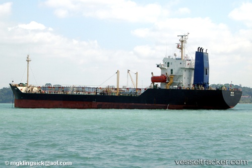
Vessel profile: Mt Dian Dina is a Oil Products Tanker with dimensions 104m x 18m.
This page combines live AIS, route history, probable destination signals, nearby traffic, and port activity for practical vessel monitoring.
The current position of vessel Mt Dian Dina is -6.15843 lat / 124.18779 lng. Updated: 2026-05-21 10:03:35 UTCNearest reference points:
- Near BAUBAU
- 101 nm N of Atauro
- Near Labuan
Currently sailing under the flag of Indonesia ![]()
Mt Dian Dina built in 1993 year
Deadweight:
6901 tDetails:
Live Vessel Mt Dian Dina Analytics (details, animations, etc.)
Recent AIS points (UTC):
2026-05-21 10:03:35 UTC · -6.15843, 124.18779 · SOG 7 kn · COG -1°2026-05-21 10:03:35 UTC · -6.15843, 124.18779 · SOG 7 kn · COG -1°
2026-05-21 10:03:35 UTC · -6.15843, 124.18779 · SOG 7 kn · COG -1°
2026-05-21 10:03:35 UTC · -6.15843, 124.18779 · SOG 7 kn · COG -1°