 NAGAKO
Current Status
Where is the vessel?
NAGAKO is currently in Near Sekupang, based on AIS data received about 14h ago.
Latest AIS update:
Current position: 1.05667° N, 103.90833° E (Near Sekupang)
Average speed (last 7 days): Loading…
Average speed (last 30 days): Loading…
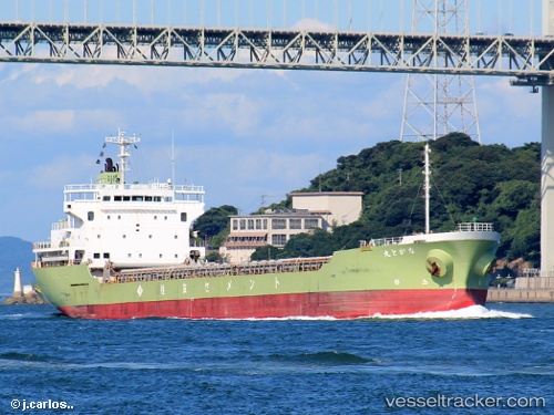
Vessel profile: NAGAKO is a Cargo with dimensions m x m.
This page combines live AIS, route history, probable destination signals, nearby traffic, and port activity for practical vessel monitoring.
The current position of vessel NAGAKO is 1.05667 lat / 103.90833 lng. Updated: 2026-05-20 23:58:44 UTCNearest reference points:
- Near Sekupang
- Near Batam Island
- Near Sambu
Currently sailing under the flag of Indonesia ![]()
Details:
Live Vessel NAGAKO Analytics (details, animations, etc.)
Recent AIS points (UTC):
2026-05-20 19:09:04 UTC · 1.05667, 103.90833 · SOG 0 kn · COG -1°2026-05-20 22:01:02 UTC · 1.05667, 103.90833 · SOG 0 kn · COG -1°
2026-05-20 22:22:24 UTC · 1.05703, 103.90890 · SOG 0 kn · COG -1°
2026-05-20 23:58:44 UTC · 1.05667, 103.90833 · SOG 0 kn · COG -1°