 STONEFISH
Current Status
Where is the vessel?
STONEFISH is currently in Near Beirut, based on AIS data received about 14h ago.
Latest AIS update:
Current position: 33.90914° N, 35.53526° E (Near Beirut)
Average speed (last 7 days): Loading…
Average speed (last 30 days): Loading…
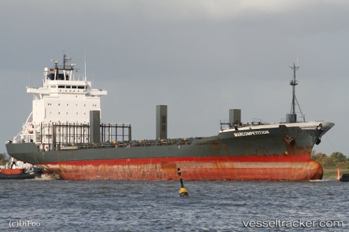
Vessel profile: STONEFISH is a Container Ship with dimensions m x m.
This page combines live AIS, route history, probable destination signals, nearby traffic, and port activity for practical vessel monitoring.
The current position of vessel STONEFISH is 33.90914 lat / 35.53526 lng. Updated: 2026-05-23 07:30:28 UTCNearest reference points:
- Near DBAIYEH
- Near Zouk
- Near Tripoli
Currently sailing under the flag of Panama ![]()
Details:
Live Vessel STONEFISH Analytics (details, animations, etc.)
Recent AIS points (UTC):
2026-05-23 03:51:19 UTC · 33.92316, 35.54032 · SOG 3.6 kn · COG 200°2026-05-23 03:52:29 UTC · 33.92195, 35.53977 · SOG 4.2 kn · COG 200°
2026-05-23 06:15:32 UTC · 33.90908, 35.53527 · SOG 0 kn · COG 93°
2026-05-23 07:30:28 UTC · 33.90914, 35.53526 · SOG 0 kn · COG 93°