 SEA STAR 74
Current Status
Where is the vessel?
SEA STAR 74 is currently in Near Yanbu Al Bahr, based on AIS data received about 14h ago.
Latest AIS update:
Current position: 24.07954° N, 38.06926° E (Near Yanbu Al Bahr)
Average speed (last 7 days): Loading…
Average speed (last 30 days): Loading…
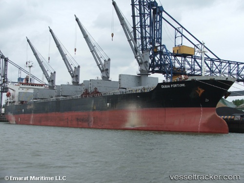
Vessel profile: SEA STAR 74 is a Bulk Carrier with dimensions m x m.
This page combines live AIS, route history, probable destination signals, nearby traffic, and port activity for practical vessel monitoring.
The current position of vessel SEA STAR 74 is 24.07954 lat / 38.06926 lng. Updated: 2026-05-18 23:33:34 UTCNearest reference points:
- 30 nm SW of Yanbu
- 35 nm S of Umm Lajj
- 42 nm NW of Fiji
Currently sailing under the flag of Saint Kitts and Nevis ![]()
Details:
Live Vessel SEA STAR 74 Analytics (details, animations, etc.)
Recent AIS points (UTC):
2026-05-18 20:00:34 UTC · 24.07949, 38.06934 · SOG 0 kn · COG 213°2026-05-18 21:36:34 UTC · 24.07956, 38.06929 · SOG 0 kn · COG 213°
2026-05-18 22:54:34 UTC · 24.07954, 38.06927 · SOG 0.1 kn · COG 214°
2026-05-18 23:33:34 UTC · 24.07954, 38.06926 · SOG 0 kn · COG 214°