 Tanto Pratama
Current Status
Where is the vessel?
Tanto Pratama is currently in 11 nm NE of Belawan, based on AIS data received about 15h ago.
Latest AIS update:
Current position: 3.93567° N, 98.77576° E (11 nm NE of Belawan)
Average speed (last 7 days): Loading…
Average speed (last 30 days): Loading…
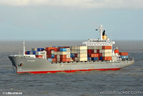
Vessel profile: Tanto Pratama is a Container Ship with dimensions 182m x 28m.
This page combines live AIS, route history, probable destination signals, nearby traffic, and port activity for practical vessel monitoring.
The current position of vessel Tanto Pratama is 3.93567 lat / 98.77576 lng. Updated: 2026-05-19 08:08:58 UTCNearest reference points:
- 10 nm NE of Belawan
- Near Belawan
- 43 nm NE of PANGKALAN SUSU
Currently sailing under the flag of Indonesia ![]()
Details:
Live Vessel Tanto Pratama Analytics (details, animations, etc.)
Recent AIS points (UTC):
2026-05-19 04:23:57 UTC · 3.93794, 98.77441 · SOG 0.1 kn · COG -1°2026-05-19 05:50:57 UTC · 3.93592, 98.77595 · SOG 0.1 kn · COG -1°
2026-05-19 07:35:57 UTC · 3.93577, 98.77588 · SOG 0.1 kn · COG -1°
2026-05-19 08:08:58 UTC · 3.93567, 98.77576 · SOG 0.1 kn · COG -1°